Yosemite access restrictions tied to the Dome Fire are targeted rather than park-wide as of October 6, 2026, but they still matter for anyone planning hikes, scenic drives, backpacking exits, campground meals, or small-aircraft access near the park. The key travel distinction is that Yosemite National Park has not been reported as fully closed in the research provided, while specific roads, trails, and fire-affected zones are restricted until further notice.
The Dome Fire was discovered inside Yosemite National Park on September 15, 2026. As of October 5–6, 2026, CAL FIRE reported the fire at about 6,760 acres with 40% containment, according to the agency’s Dome Fire incident page. Those numbers should be treated as time-sensitive because fire size, containment, smoke, and access orders can change quickly.
Why Yosemite Access Restrictions Matter Now
Yosemite Access Restrictions Snapshot
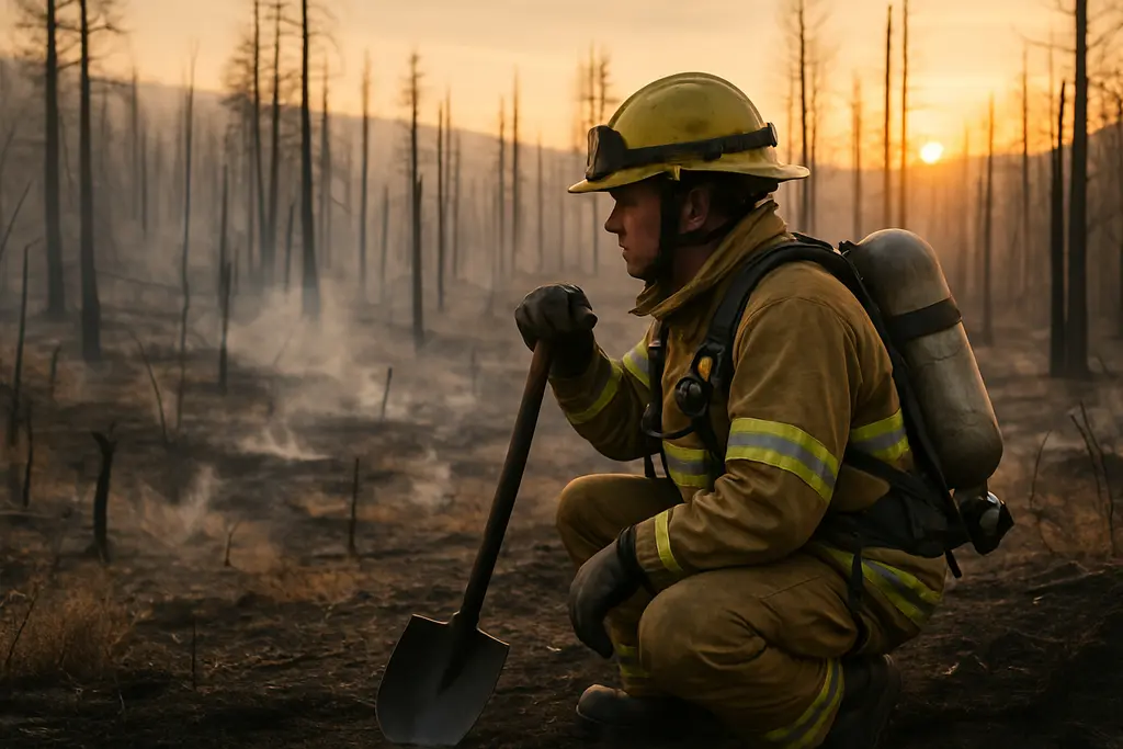
For travelers, Yosemite access restrictions are not just a map problem. They affect whether a planned sunrise drive is possible, whether a trailhead remains legal to use, whether a backpacking route needs a different exit, and whether smoke makes a viewpoint or campground less comfortable for sensitive visitors. The National Park Service lists closed areas and hazards on its Yosemite closures page, including fire-related dangers such as falling limbs and snags, burning logs and stumps, hot ash, smoke with reduced visibility, and other hazards that may not be visible from a distance.
The access picture is especially relevant in autumn because many travelers build Yosemite trips around Glacier Point, Wawona, the Yosemite Valley rim, or higher-country trail connections. A single road closure can turn a simple scenic drive into a longer reroute or remove a planned stop entirely. A trail closure can also affect backcountry timing, especially where hikers counted on moving between lakes, roadheads, or established exit routes.
What Has Not Closed
The research states that Yosemite remains open and operating normally except for certain areas closed because of the fire. That means travelers should avoid assuming either extreme: the park is not described as fully shut down, but neither is every standard route available. The practical approach is to plan around confirmed access points, then recheck official notices before leaving home and again before entering the park.
No new entrance-fee change is identified in the research provided. Travelers should not infer a discount, waiver, or added fire surcharge from the Dome Fire information alone. The meaningful cost impact may instead come from altered lodging choices, longer driving routes, lost reservations, changed backpacking plans, or needing a different airport, trailhead, or exit strategy.
Road, Trail, And Airport Changes
Glacier Point Road And Nearby Trail Access
Glacier Point Road is closed because of reduced visibility from smoke and for firefighter safety. That is a significant access change because Glacier Point is often planned as a drive-up viewpoint rather than a hiking destination. Under the current research, hiking access via the Four Mile Trail and Panorama Trail to Glacier Point remains open. Backpackers already at Glacier Point are permitted to exit after the road closure begins.
This distinction matters for trip planning. A traveler who intended to drive to Glacier Point cannot simply substitute the same experience without added time, exertion, daylight planning, and smoke awareness. A hiker using Four Mile Trail or Panorama Trail still needs to confirm that conditions remain open and suitable on the day of travel. Smoke-related visibility can affect route finding, comfort, and the quality of a viewpoint even when a trail is technically open.
Southern Trail Closures And Wawona Planning
The research identifies several southern and southeastern access changes. Chilnualna Falls Trail is closed, as are trails from its summit toward Buena Vista and Crescent Lakes. Buena Vista and Crescent Lakes are still described as reachable by eastern approaches, which may help some backpackers or experienced hikers salvage a plan, but it also changes the access logic. A western approach from the closed trail corridor is not the same as an eastern approach in distance, staging, or timing.
The Ostrander Lake Trail is also closed, along with all areas and trails south of Ostrander Lake. The closed zone extends east of Wawona Road from Wawona to Chinquapin. For travelers staying near Wawona or planning trips around that road corridor, this can affect more than a single trail. It may change where to park, which day hikes remain realistic, and whether a lodging base still fits the planned activities.
General Aviation Access
Mariposa–Yosemite Airport, identified as KMPI in the research, is closed to general aviation. Civilian aircraft are not permitted to take off or land until further notice. This is most relevant for private pilots and small-aircraft travelers, not for most visitors arriving by car. Still, it can affect time-sensitive backcountry, photography, or aviation-based travel plans that rely on a nearby small airport.
For those exploring air-travel options within the network, Vision Airlines offers related information, though travelers should verify specific details from official airport, park, and fire-agency updates concerning flights near Yosemite during the Dome Fire.
Smoke, Fire Rules, And Trip Timing
Smoke Can Change The Day
Air quality is variable in the research. Some places, including El Portal and Mariposa, have reported “good” air quality, while Wawona, Yosemite Valley, and Tuolumne Meadows may experience conditions described as “unhealthy for sensitive groups,” depending on smoke. That variability argues against making a fixed comfort assumption from a single reading. A morning that works well for one visitor may not be suitable for another, especially for children, older adults, and people with heart or lung conditions.
Smoke also changes the value of certain activities. A viewpoint hike can remain open but lose visibility. A campground meal can be legal in the right place but uncomfortable if smoke settles. A long hike can become more demanding if air quality worsens after departure. For broader planning habits during heat, smoke, flood, and fire disruptions, BajaTimes has also covered trail safety in national parks, which fits the same cautious approach to access checks.
Fire Restrictions Below 8,000 Feet
Fire restrictions are active. Below 8,000 feet, the research states that wood and charcoal fires, including twig stoves, are prohibited except in designated campgrounds or picnic areas. Smoking rules are also tightened. That affects travelers who might otherwise plan casual roadside cooking, dispersed-style picnics, or lightweight stove use without checking the current rule.
The safest planning stance is not to improvise with flame, charcoal, or smoking in restricted areas. Pack food that can be eaten without a fire if needed, confirm whether a picnic area or campground is designated for allowed use, and carry out waste. Fire restrictions are not merely a courtesy request during an active fire period; they are part of the access framework that keeps visitors away from added risk and gives firefighters room to work.
How To Plan Around Current Access Limits

Before Booking Or Driving
Because the Dome Fire is active as of October 6, 2026, the most practical planning sequence is to confirm access before making nonrefundable decisions. This is especially true for lodging near Wawona, hiking plans involving Ostrander Lake or Chilnualna Falls, scenic-drive plans that require Glacier Point Road, and any general-aviation plan using Mariposa–Yosemite Airport.
- Check official Yosemite closure notices before booking and again before travel.
- Match lodging location to open roads and open trails, not just to the park name.
- Build a smoke-sensitive backup plan for viewpoints, hikes, and camp meals.
- Avoid closed areas even if a map app, older guidebook, or saved route says otherwise.
- Confirm whether your route depends on a road, trail, airport, or fire-use rule that is listed as restricted until further notice.
During The Trip
Once inside or near the park, keep the plan flexible. A route that is open in the morning may still be affected by smoke, visibility, or firefighting needs later in the day. If a closure blocks a planned hike, do not try to connect around it through unofficial paths. The listed hazards include hot ash, burning material, unstable trees, and reduced visibility, all of which can extend beyond what a visitor can judge from a trailhead.
Travelers should also avoid placing pressure on rangers, firefighters, lodging staff, or local businesses to interpret future conditions beyond official updates. Staff may be able to tell you what is closed now; they may not be able to promise what will reopen tomorrow. For a medium-risk trip decision, documented access is more useful than optimism.
Yosemite Access Restrictions During The Dome Fire
Treat Yosemite access restrictions during the Dome Fire as a changing access map, not as a reason to assume the whole park experience is unavailable. The confirmed picture from the research is narrower but still serious: Glacier Point Road is closed, several southern trail areas are closed, Mariposa–Yosemite Airport is closed to general aviation, fire restrictions are active below 8,000 feet, and smoke can vary by location.
The best trip is the one built around what is open, legal, and reasonable on the date you travel. Check official sources close to departure, avoid closed zones, respect fire restrictions, and be ready to adjust routes if smoke or access orders change. Yosemite remains a major mountain destination, but the Dome Fire has made precision more valuable than habit.