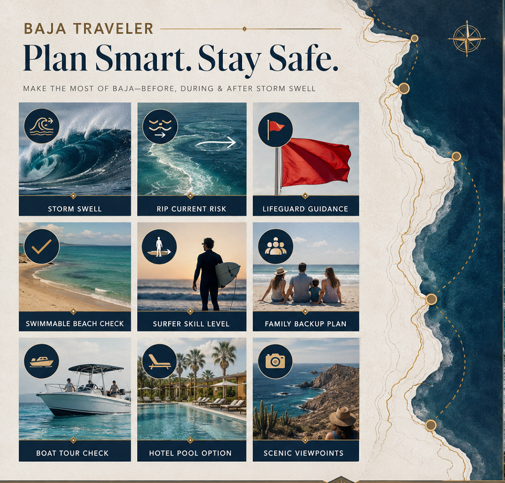
Hurricane Genevieve’s surf alerts matter for Baja beach vacation planning because the storm showed how a hurricane can change a beach day even when it never makes landfall. For travelers in Los Cabos, La Paz, Todos Santos, the East Cape, Rosarito, Ensenada, or other Baja coastal areas, the practical risk was not only rain or wind. It was long-period swell, stronger surf, rip currents, beach erosion, and the false confidence that comes when skies look clear but the ocean is still carrying storm energy.
The National Hurricane Center warned during Genevieve’s track through the eastern Pacific that swells generated by the hurricane were affecting portions of southwestern Mexico and the Baja California Peninsula, with life-threatening surf and rip current conditions possible. AP reported on July 28, 2026, that Genevieve had strengthened to a Category 4 hurricane with maximum sustained winds of 130 mph and was about 590 miles west-southwest of the southern tip of the Baja California peninsula while sending swells toward Baja California and coastal southwestern Mexico.
For Baja travelers, that is the planning lesson. A summer beach trip should not be built only around hotel weather, sunshine, restaurant reservations, or whether a storm is expected to hit land. Beach and surf decisions need a separate ocean-conditions check.
Why Genevieve Changed The Beach Planning Conversation
Genevieve matters because it separated storm-track risk from beach-use risk. A traveler looking only at the hurricane’s center could have assumed the danger was minimal because the storm remained far offshore. A surfer, swimmer, lifeguard, boat operator, or parent needed a different reading. Offshore hurricanes can push energy across long distances, and that energy can arrive as powerful surf and rip currents along exposed beaches.
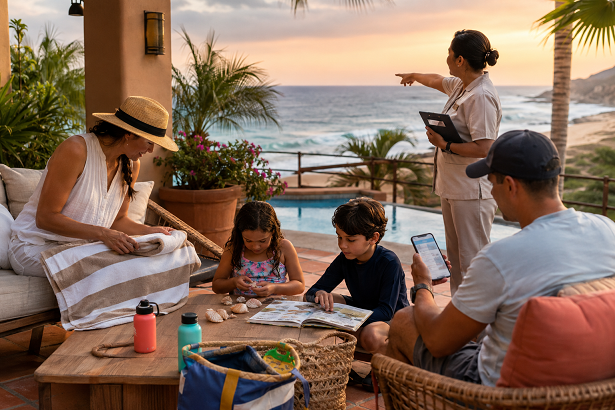
The National Hurricane Center’s advisory language is direct. In its July 2026 advisory archive, NHC warned that swells generated by Genevieve were affecting southwestern Mexico and the Baja California Peninsula and were likely to cause life-threatening surf and rip current conditions through the Hurricane Genevieve advisory.
That means the practical beach decision was not “Is the hurricane coming here?” It was “What are the surf, current, and beach-hazard conditions where we plan to enter the water?” Those are different questions.
This is especially important in Baja California Sur, where travelers may split time between resort pools, swimmable coves, surf beaches, boat tours, snorkeling trips, fishing charters, and scenic Pacific-side stops. Each activity reacts differently to storm swell. A resort pool may be unaffected. A sheltered cove may still need caution. A Pacific-facing surf beach may become too powerful for casual swimmers.
Why Offshore Hurricanes Can Still Affect Baja Beaches
A hurricane does not need to cross the coastline to affect beaches. Strong storms create swell that can travel hundreds of miles across open water. When that swell reaches shore, it can produce larger breaking waves, stronger currents, hazardous shorebreak, and dangerous run-up on rocks, jetties, and exposed sand.
That is why forecasters treat surf hazards separately from wind hazards. A storm can weaken, move away, or never trigger a local tropical-storm warning while still generating dangerous ocean conditions. Genevieve fit that pattern. The storm stayed offshore, but its swell field reached coastal areas.
For vacationers, this can feel confusing. The hotel sky may be blue. The weather app may not show heavy rain. The beach may look inviting from a restaurant patio. Yet the surf can still be unsafe for swimming, beginner surfing, paddleboarding, or children playing near the shore.
The safest planning habit is to check marine and beach-hazard information, not only the general forecast. Travelers should look for lifeguard flags, local civil-protection updates, tour-operator guidance, harbor advisories, and National Hurricane Center or National Weather Service information when tropical systems are active in the Pacific.
How Genevieve Affected Los Cabos Planning
Los Cabos is where this kind of warning matters most for many visitors because the destination mixes swimmable beaches, non-swimmable beaches, surf breaks, marina activity, boat tours, and resort travelers who may not know the difference. A beach can be beautiful and still unsuitable for swimming.
Visit Los Cabos says only 43% of Los Cabos beaches are considered swimmable, while the destination offers different beach uses, from surfing and snorkeling to seaside walks and picnics, through the official Los Cabos beaches guide. That detail matters during hurricane swell because it reminds visitors that beach choice is already activity-specific in normal conditions. Storm swell makes that distinction more important.
A traveler staying near Cabo San Lucas might see people on the sand and assume water entry is fine. A better decision is to ask whether the beach is swimmable that day, whether lifeguards are present, whether flags are posted, and whether the surf has been affected by tropical swell.
This is not about avoiding Los Cabos during every offshore storm. It is about changing the day’s plan when the ocean changes. A beach walk, sunset meal, marina stroll, or pool day may still work. Swimming, snorkeling, surfing, kayaking, or boat excursions require a more current conditions check.
Why Surfers Should Not Treat Storm Swell As Automatically Good News
Surfers may see hurricane swell differently from casual travelers. A tropical system can generate bigger, longer-period waves, and that can create excitement around certain breaks. But Genevieve’s alerts show why storm swell should not be treated as an automatic green light.
Long-period swell can arrive with more power than the average beach user expects. It can create heavy shorebreak, strong paddle-outs, larger sets, more dangerous currents, and conditions that separate experienced surfers from beginners quickly. It can also make beaches crowded with people chasing the same window.
Surfers should separate wave potential from safety. The checklist should include swell direction, wind, tide, local access, rip-current risk, water quality, crowd conditions, lifeguard presence, board choice, and realistic skill level. A beginner lesson should not be planned around a powerful hurricane swell simply because the forecast looks exciting.
Traveling surfers should also be careful with unfamiliar breaks. Baja has beach breaks, point breaks, reefs, and rocky entries. Storm swell can change how each one behaves. A wave that looks manageable from shore can become a very different experience once a surfer is caught inside or pushed toward rocks.
Why Families Need A Different Beach Plan During Surf Alerts
Families should treat surf alerts as a planning signal, not as background weather language. Children are especially vulnerable near shorebreak and rip currents because they can be knocked down, pulled away, or surprised by wave run-up even when they are only playing at the edge of the water.
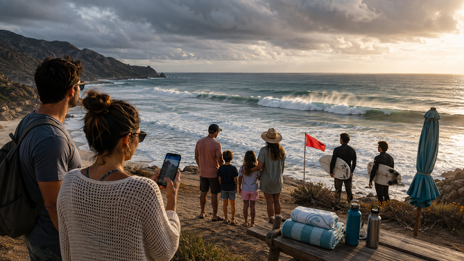
The National Hurricane Center’s rip-current guidance says beachgoers should check weather and rip-current forecasts, find out whether lifeguards are present, look for warning flags, talk to lifeguards if unfamiliar with the beach, and set up near a lifeguard stand if planning to swim through its safe swimming guidance.
That guidance fits Baja beach planning directly. A family staying in Los Cabos, La Paz, Rosarito, or Ensenada should not assume the closest beach access point is the best one during a surf alert. The better choice may be a guarded beach, a sheltered cove approved for swimming that day, or a dry-land coastal outing.
A good family backup plan can save the day. Instead of forcing a swim, families can shift to a pool, shaded meal, aquarium-style marine education activity, museum stop, scenic drive, or sunset walk away from breaking waves.
What Different Baja Beach Visitors Should Check
| Visitor Type | What Genevieve’s Alerts Mean | Best Planning Move |
|---|---|---|
| Resort Guests | A sunny hotel forecast does not prove the ocean is safe | Ask staff and lifeguards about daily beach flags |
| Families | Children are vulnerable near shorebreak and rip currents | Choose guarded or sheltered beaches and keep a dry-land backup |
| Surfers | Bigger swell can exceed skill level or change familiar breaks | Check swell, tide, rip risk, access, and local advice |
| Boat-Tour Guests | Swell can affect harbor exits and comfort offshore | Confirm directly with operators before departure |
| Road-Trippers | Exposed Pacific beaches can differ sharply from protected coves | Match the beach stop to conditions and activity |
This checklist matters because Baja beach travel is not one activity. The same swell that makes one surf break attractive can make a family beach stop unsafe. The same coastline can offer a scenic walk, a dangerous swim, and a canceled boat tour on the same day.
How Rip Currents Turn Good Weather Into A Beach Hazard
Rip currents are one reason hurricane swell can be dangerous even when the weather looks pleasant. NOAA describes rip currents as strong, narrow flows of water moving away from shore that can catch swimmers off guard, including experienced swimmers. The National Hurricane Center’s rip-current map explains that high rip-current risk means life-threatening currents are likely and swimming conditions are unsafe for all levels of swimmers through its rip-current risk guidance.
The key problem is visibility. Many visitors expect dangerous water to look obviously dangerous. Rip currents can be harder to recognize. They may appear as darker channels, calmer-looking gaps between breaking waves, churning water, or lines of foam and debris moving seaward, but casual beachgoers often miss those signs.
That is why visitors should not rely only on personal judgment. Lifeguards, flags, local advisories, and official forecasts exist because the ocean’s risk is not always obvious from the sand.
During Genevieve-style swell events, the safest default is conservative. If a beach is under high surf or rip-current warning language, casual swimmers should stay out of the water. Surfers should match conditions to experience and avoid putting rescuers at risk.
Why Baja California Sur Road Trips Need Coastal Flexibility
Baja California Sur road trips often include a mix of Pacific and Gulf of California stops. A traveler might plan Los Cabos, Todos Santos, La Paz, the East Cape, Loreto, or Mulegé in one itinerary. During hurricane swell, those coastal differences matter.
Pacific-facing beaches may receive swell differently from Sea of Cortez beaches. Exposed shorelines can become powerful quickly. Protected coves may still be more manageable, but they are not automatically safe. Wind, swell direction, tide, and local topography all affect the day.
That means road-trippers should not lock the trip around one must-swim stop. They should build flexibility into the route. If surf alerts affect a planned beach, the day can shift toward a town walk, seafood lunch, scenic overlook, cultural stop, or inland activity. The goal is not to cancel Baja; it is to stop treating every beach as interchangeable.
BajaTimes has covered how Baja California tourist safety planning is becoming part of ordinary summer travel decisions across beaches, restaurants, events, wine country, and border routes. Genevieve’s surf alerts fit that same pattern because they show how conditions can change the safest way to use a destination.
How Hotels, Surf Schools, And Tour Operators Should Communicate Alerts
Travel businesses can make storm-swell planning easier by communicating clearly. Hotels should tell guests when ocean entry is discouraged, which beaches are normally swimmable, where lifeguards are located, and what flags mean. Surf schools should move lessons, cancel sessions, or adjust skill-level requirements when swell exceeds beginner conditions.
Boat operators should confirm whether tours are running and explain when ocean conditions may affect comfort, snorkeling, landing sites, or route choice. Restaurants and beach clubs can also help by reminding guests that eating or walking near the beach is not the same as entering the water.
The most useful communication is specific. “The storm is offshore” is not enough. Travelers need to know whether swimming is advised, whether lifeguards are present, whether tours are operating, and what safe alternatives exist.
Businesses should avoid both extremes: no panic language, but no casual dismissal either. During a Genevieve-type event, confidence comes from clarity.
What Travelers Should Do Before Entering The Water
Travelers should start with official weather and surf guidance, then check local conditions at the beach. They should look for flags, lifeguard towers, posted warnings, beach closures, and behavior from experienced local operators. If there is uncertainty, they should ask before entering the water.
Families should choose guarded areas and keep children away from breaking waves during high surf. Swimmers should avoid going alone and should not overestimate their ability. Surfers should be honest about skill level and avoid unfamiliar breaks if conditions are beyond experience. People walking near rocks, jetties, or cliffs should stay farther back during high-surf periods because wave run-up can reach beyond the normal wet-sand line.
Travelers should also avoid taking storm-swell photos from dangerous positions. Many injuries happen when people get too close to rocks, seawalls, or eroded edges for a better view. A safe viewpoint is part of good beach planning.
The ocean does not need to look dramatic to deserve respect.
Why Genevieve’s Surf Alerts Are A Useful Summer Reminder
Genevieve’s surf alerts are useful because they show a common Baja planning mistake: treating hurricanes as a yes-or-no landfall question. For beach vacations, the better question is how storm energy changes the water where visitors actually plan to swim, surf, paddle, snorkel, fish, or take a boat.
The answer can vary by beach, day, and activity. A resort stay can continue while ocean swimming is discouraged. A surf session can be tempting but too powerful for beginners. A family beach picnic can shift to a dry-land plan. A boat tour can be delayed or rerouted. A road trip can move from exposed surf to a town-based day.
That is why Hurricane Genevieve matters for Baja beach vacation planning. It reminds travelers that summer ocean conditions are dynamic, and that beach safety depends on more than distance from the storm’s center.
A better Baja beach trip is not one that ignores surf alerts. It is one that uses them early enough to choose the right beach, the right activity, and the right backup plan.