Grand Canyon closures after the August 29, 2026 flash flood are mainly an inner-canyon access issue, not a park-wide shutdown. As of September 7, 2026, travelers should separate three questions before making plans: which rim roads are open, which trails are closed below the rim, and whether water, lodging, bridge, or river access is available for the route they had in mind.
The key travel point is that the South Rim road network remained open to vehicle traffic in the September 7 research notes, including Desert View Drive on State Route 64, Hermit Road via shuttle, and major viewpoints. That does not mean normal hiking conditions have returned below the rim. The closure pattern is concentrated in the inner canyon, where flood damage affected trail access, bridges, water infrastructure, Phantom Ranch services, and river-corridor movement.
What Grand Canyon Closures Mean For Visitors
Grand Canyon Closures And Road Access
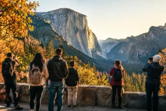
For travelers arriving by car, the available information does not point to South Rim scenic-road closures caused by the August 29 flood. That matters for visitors planning a viewpoint-focused trip, a shorter rim walk, or a first Grand Canyon visit built around overlooks rather than a descent into the canyon. Desert View Drive and major South Rim viewpoints remained part of the accessible travel picture in the research reviewed for September 7.
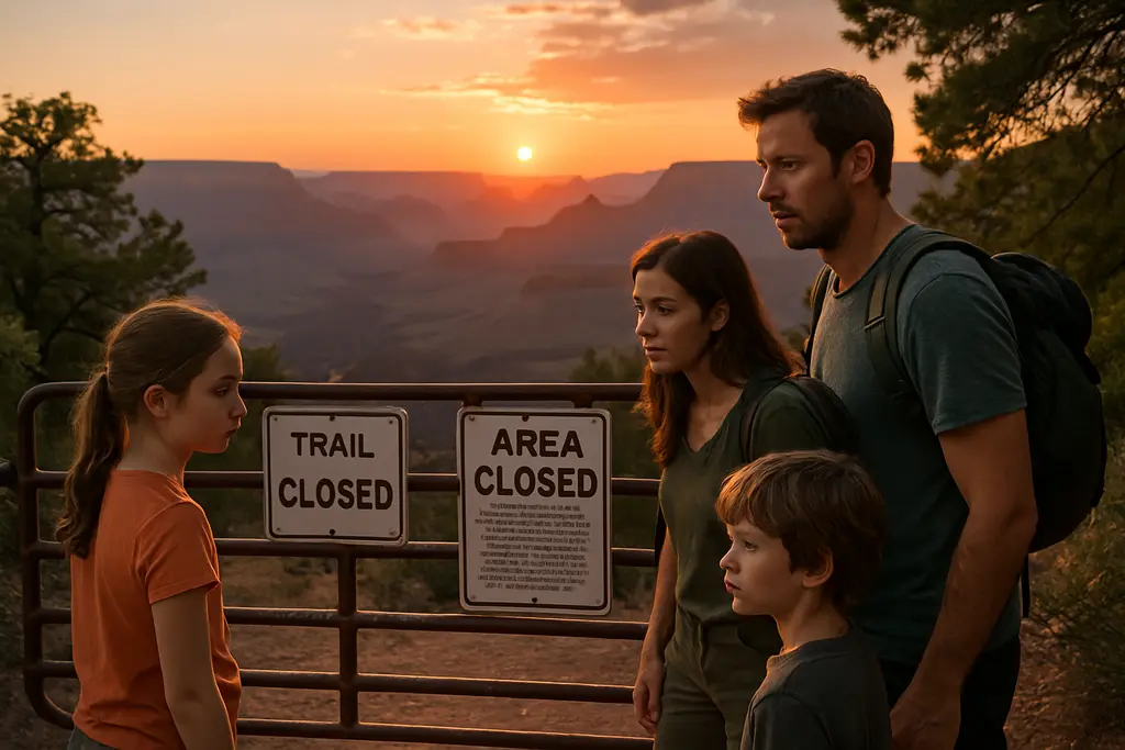
Hikers should not treat open rim roads as a green light for longer canyon routes. Grand Canyon closures are not evenly distributed across the park. A traveler may be able to reach a trailhead, park, use a shuttle-served corridor, and still face a hard closure farther down the route. This is especially relevant for people who planned rim-to-river hikes, overnight stays near Phantom Ranch, or any route using the Colorado River bridges.
Trail Sections That Remain Open
The September 7 hiking picture is mixed. The South Kaibab Trail was listed as open from the trailhead down to Tip-Off Point, but closed below Tip-Off Point. Bright Angel Trail was listed as open from Bright Angel Trailhead to Havasupai Gardens and the Tonto Trail junction, but closed below the Tonto Trail intersection. Those open sections may still be demanding day hikes, especially with heat, elevation change, limited services, and changing water availability.
Travelers should be conservative with turnaround points. A partial trail opening is not the same as a normal through-route. The practical test is not whether a trail begins open, but whether the full route, return plan, water plan, and emergency exit options are realistic on the date of travel.
Inner-Canyon Routes Closed After The Flood
South Kaibab, Bright Angel, And North Kaibab
On September 3, 2026, the National Park Service expanded inner-canyon closures after the August 29 flash flood. The official notice said South Kaibab Trail was closed below Tip-Off Point and Bright Angel Trail was closed below its intersection with the Tonto Trail; it also identified closures affecting Black Bridge and Silver Bridge because of flood damage and structural concerns, according to the NPS closure notice.
The entire North Kaibab Trail, including the route from the North Kaibab Trailhead down toward Phantom Ranch via Cottonwood Campground, remained closed in the September 7 research notes, with no estimated reopening date cited. This is a major constraint for anyone who had planned a rim-to-rim hike. Even experienced hikers should avoid trying to improvise around these closures; closed routes may include damaged infrastructure, unsafe crossings, debris, and limited rescue access.
Bridges, Phantom Ranch, And River Corridors
Black Bridge and Silver Bridge are especially significant because they connect major inner-canyon travel routes across the Colorado River. Their closure limits classic corridor travel and affects any plan that depends on moving between the South Kaibab, Bright Angel, Phantom Ranch, and North Kaibab areas.
Phantom Ranch, including cabins, Bright Angel Campground, and the Phantom Ranch Canteen, remained closed until further notice in the September 7 research notes. For travelers, that removes a central lodging, camping, food, and rest point from many inner-canyon plans. It also means hikers should not assume that a long descent can be balanced with services at the canyon bottom.
The River Trail east of the River Resthouse to the South Kaibab Trail junction was also listed as closed. River-corridor closures can be less obvious to day visitors standing on the rim, but they matter for anyone considering a connecting hike or a modified route after losing access to the original plan.
Practical Checks Before Booking A Hike
Water, Heat, And Overnight Planning
The September 7 research notes reported no potable water available inside the canyon because of damage to the TransCanyon Waterline, with Stage 4 water restrictions enacted on the South Rim. That single detail should reshape trip planning. Carrying water for a short rim walk is one thing; planning a below-rim hike without dependable water points is a different risk calculation.
Travelers should confirm water status close to departure, not only when booking lodging or making an initial plan. If water is unavailable inside the canyon, hikers need to shorten objectives, carry enough water for the full outing, and be ready to cancel a descent if weather, fitness, or timing makes the plan unreasonable. The research provided does not identify a new entrance-fee change tied to the flood, but it does show major access and service changes that can affect the real cost of a trip through canceled reservations, changed lodging, or lost itinerary time.
Where To Verify Conditions
Treat Grand Canyon closures as date-sensitive. The National Park Service’s Key Hiking Messages page is the official place cited in the research for open and closed trail sections, including the partial South Kaibab and Bright Angel access described above. Check it again before driving to the park and again before starting a hike.
For travelers tracking broader regional travel context, California Times offers insight into similar situations as it is part of that network. However, closure decisions inside Grand Canyon National Park should come from the National Park Service. A related BajaTimes note on Grand Canyon Trail Closures hiker planning may also help readers compare access changes, but official park alerts should control any go-or-no-go decision.
- Confirm the exact trail segment you plan to use, not just the trail name.
- Check whether your route depends on Black Bridge, Silver Bridge, Phantom Ranch, or the River Trail.
- Verify potable water status before committing to any below-rim hike.
- Do not assume rim-road access means inner-canyon access.
- Recheck NPS alerts on the morning of travel because closure boundaries can change.
Grand Canyon Closures For September Hikers
Grand Canyon closures after the August 29 flash flood require a narrower, more evidence-based hiking plan for September 2026. A viewpoint visit on the South Rim may still be possible based on the road-access information available in the research notes, but ambitious inner-canyon plans face serious limits. South Kaibab below Tip-Off Point, Bright Angel below the Tonto Trail junction, the North Kaibab Trail, Phantom Ranch facilities, key Colorado River bridges, and parts of the River Trail all affect how hikers can move through the canyon.
The safest planning posture is cautious without being alarmist. Do not cancel a rim-based visit solely because inner-canyon routes are closed, but do not downgrade the closures as a minor inconvenience if your trip depends on descending below the rim. The difference between a scenic-road visit and a corridor hike is now substantial.
For hikers, the best current plan is specific and flexible: choose a route that is officially open, set a firm turnaround point, carry water based on confirmed conditions, avoid closed connectors, and be prepared to change plans if the National Park Service updates the closure map. The canyon remains accessible in limited ways, but the damaged inner-canyon corridor is not business as usual.