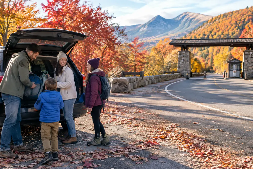
Park weather updates are shaping late-October and early-November travel across several U.S. national park routes, especially for hikers, runners, photographers, road-trippers, and families trying to match outdoor plans with changing access. The practical concern is not only whether rain, snow, fire restrictions, or flood damage exists. It is whether roads, trailheads, water systems, overnight parking rules, and seasonal services still match the trip a traveler booked weeks ago.
The most serious travel signal comes from the Four Corners region, where heavy rainfall topped 5 inches in some places and flooding affected parts of Arizona, New Mexico, Utah, and Colorado, according to Associated Press reporting. That kind of regional flooding matters for national park travelers because many fall trips link parks, tribal sites, scenic roads, and small towns in one driving loop. A closure outside a park gate can still disrupt lodging, fuel stops, arrival timing, and recovery days.
At Grand Canyon National Park, the late-summer flash flood story also remained relevant into fall planning. The National Park Service said crews were assessing new damage after a second flash-flood event at Grand Canyon National Park, with damage tied to Bright Angel Canyon and related infrastructure concerns in the park’s official Grand Canyon damage update. For travelers, that means a South Rim viewpoint visit and an inner-canyon itinerary should not be treated as the same access question.
Park Weather Updates Across Fall Travel Routes
Why Park Weather Updates Are Not Just Forecasts
Park weather updates often begin with a forecast, but the travel impact usually appears in infrastructure. A storm can close a road, damage a water intake, cancel overnight parking, restrict campfires, or add weekday delays. This is especially relevant for sports-focused travelers: a trail runner planning a rim-to-rim-style effort, a cyclist building a scenic drive around a climb, or a family combining short hikes with a school-break road trip all depend on access details that can change faster than hotel policies.
The Four Corners flooding is a clear example. The research notes describe ongoing impacts around the regional park circuit, including closures affecting Four Corners Monument since October 22, 2026, and shut areas at Monument Valley and Little Colorado River Gorge. Those are not all National Park Service sites, but they sit inside the same travel pattern many visitors use when linking Grand Canyon, Utah canyon country, Navajo Nation destinations, and high-desert scenic drives. Travelers should separate three questions before booking or driving: whether the park itself is open, whether the roads to reach it are open, and whether nearby attractions that justified the route are accessible.
How Fall Trips Become More Sensitive To Timing
Fall park travel often feels easier than summer because heat and crowds can ease in some regions. Weather-related access can offset that advantage. By late October, higher elevations can move from mild afternoons to freezing nights, while desert canyons can shift from dry roads to flash-flood hazards after a strong storm. That timing gap is where travelers lose flexibility: a nonrefundable room, a long drive between parks, or a tight return flight can become harder to manage when a road delay adds one or two hours to a day.
For readers comparing park travel with active-lifestyle trips, related destination coverage from The Silver Liners provides valuable insights, particularly for older travelers and multigenerational groups who often require additional lead time for lodging, mobility, rest days, and medical contingencies. The same logic applies here: fall park routes should leave space for weather checks and access changes, not just scenic stops.
Grand Canyon Flood Damage And Access Planning
Grand Canyon Trips Need Separate Rim And Canyon Checks
Grand Canyon is the park where park weather updates require the sharpest distinction between a casual rim visit and a below-rim plan. Research notes tied the August 29, 2026 flash flood to damage in Bright Angel Canyon, including critical infrastructure concerns involving the Bright Angel Creek water intake. They also noted Stage 4 water restrictions and closures affecting trails and inner-canyon areas as of mid-September 2026. Because conditions after flood damage can change section by section, travelers should not assume a viewpoint, a shuttle stop, a corridor trail, and an overnight backcountry plan have the same status.
That distinction matters for cost as much as safety. A traveler who books lodging near the South Rim may still be able to use some rim-based plans, while someone who built a trip around an inner-canyon hike may face a different risk of cancellation or rerouting. Before paying for lodging, guided services, or transportation, travelers should verify the exact trail, water availability, shuttle or road status, and cancellation policy. For a park-specific planning angle, BajaTimes has also tracked Grand Canyon access changes affecting fall 2026 travel.
Water Limits Change The Meaning Of A Hiking Plan
Water restrictions do not only affect campers. They can alter restaurant service, lodging operations, trail planning, and the ability of hikers to refill where they expected to. For endurance athletes and long-distance hikers, a water-system disruption is not a minor inconvenience. It changes pack weight, turnaround points, and whether a route should be attempted at all. The cautious approach is to treat every Grand Canyon below-rim plan as provisional until the traveler has checked the park’s latest condition page and confirmed whether potable water is available at the planned stops.
California Parks: Road Closures, Freezing Nights, And Delays
Sequoia And Kings Canyon Have Seasonal And Work-Zone Issues
Research notes for Sequoia and Kings Canyon said Mineral King Road within Sequoia National Park closed for the winter season on October 28, 2026. They also noted weekday traffic delays on Generals Highway between Giant Forest and Highway 180 from 8 a.m. to 5 p.m. for hazard tree removal, with delays of up to 30 minutes at each work site. That combination is a classic fall planning problem: one road is closed for the season, while another may be open but slower than expected.
Travelers should build drive days around daylight rather than distance alone. A 30-minute delay can be manageable on a single-park visit. It becomes more disruptive when paired with a late hotel check-in, a long drive to Yosemite, or a plan to arrive at a trailhead before sunset. Families with children, photographers chasing late light, and athletes planning a training hike should all treat roadwork as part of the itinerary, not an afterthought.
Yosemite’s High-Country Season Has Shifted
Yosemite’s fall pattern is different but related. Research notes said that as of October 15, 2026, overnight parking was not permitted on Tioga Road or Glacier Point Road, and Half Dome cables had been taken down for the season. The same notes flagged freezing nights at higher elevations, limited water sources, and campfire restrictions. That means late-fall Yosemite travel should be planned around lower-elevation flexibility unless the traveler has verified high-country access and weather.
For climbers, hikers, and trail runners, the Half Dome cable date is especially relevant. Once the cables are down, a trip built around that objective is no longer the same trip. For general visitors, the overnight parking limits on Tioga Road and Glacier Point Road can affect backpacking starts, photography plans, and late-day road positioning. These park weather updates are less dramatic than a flood headline, but they can still change the cost and timing of a trip.
Other Park Systems With Fall Access Changes
Road Closures Are Spreading Across Regions
The research notes also flagged seasonal road closures in Great Smoky Mountains National Park beginning October 30, 2026. In Yellowstone National Park, most roads and three main entrances were listed as closing to regular vehicle traffic starting November 1, 2026, with winter access shifting toward snowcoach and snowmobile travel. Because the Yellowstone date falls one day after October 31, 2026, travelers should treat any regular-vehicle plan for early November as highly date-sensitive and verify the exact entrance, road segment, and service status before departure.
Nightly and gate-based restrictions can be just as important as full closures. Research notes mentioned nightly road and gate closures at Mount Rainier, including the Paradise Road gate at Longmire as of October 31, 2026, and nightly closures on Zion’s Mount Carmel Highway. These access windows matter for sunrise photography, late returns from hikes, and long drives after dark. A road that is open during the day may still be unusable for a traveler arriving after a delayed flight or a long interstate drive.
Fire Restrictions And Storm Damage Require Different Planning
Fire restrictions present a different travel problem. Research notes listed Stage 2 fire restrictions at Great Basin National Park, including bans on campfires, charcoal use, and smoking, and also flagged fire or burn restrictions at Black Canyon of the Gunnison and Great Sand Dunes national parks as of October 30, 2026. These rules affect camping comfort, meal planning, and evening routines. Travelers should not assume that a campsite reservation includes the ability to build a fire or use charcoal.
Hawai‘i Volcanoes National Park appeared in the research notes because, after Hurricane Lala, most of the park remained closed and without power in late October 2026. The available research here is thinner than for the Four Corners flooding and Grand Canyon flood damage, so travelers should verify the park’s official status before making any cost-bearing decision. For islands, that verification should include flights, rental cars, lodging refund rules, and whether a closed park changes the main reason for the trip.
Practical Checks Before Booking Fall Park Travel
| Travel Issue | Why It Matters | What To Confirm |
|---|---|---|
| Flood Damage | Trails, bridges, water systems, and canyon routes can remain affected after rain stops. | Exact trail status, water availability, shuttle or road access, and refund terms. |
| Seasonal Roads | Winter closures can begin before a traveler expects snow at lower elevations. | Entrance status, road segment status, gate hours, and alternate routes. |
| Fire Restrictions | Campfires, charcoal cooking, and smoking rules may change camping plans. | Allowed fuel types, campground rules, and local burn restrictions. |
| Work-Zone Delays | Short delays can disrupt sunset arrivals, trail starts, and lodging check-ins. | Work hours, delay length, and daylight driving margins. |
A short planning checklist can reduce the chance of paying for a trip that no longer matches the conditions on the ground:
- Check the official park alert page on the morning of departure and again before entering remote areas.
- Confirm whether lodging, campgrounds, guided trips, and shuttle services are operating under restrictions.
- Build extra time into drives where flooding, roadwork, or seasonal gates are reported.
- Avoid nonrefundable bookings when the main activity depends on a single road, trail, or water system.
- Carry a backup plan that does not require the same closed road or damaged corridor.
What Park Weather Updates Mean For Fall Travel
Park weather updates in late October 2026 point to a simple travel reality: fall can be one of the most rewarding times to visit national parks, but it is also a season when access can change quickly. Flooding in the Four Corners region, Grand Canyon flood damage, Sequoia road closures, Yosemite high-country restrictions, Yellowstone’s early-November road shift, and fire limits in several western parks all show that travelers need more than a forecast.
The best fall strategy is to match the trip to confirmed access. If the purpose is a scenic drive, verify the road. If the purpose is a trail objective, verify the trail, water, and daylight window. If the purpose is camping, verify fire rules and overnight temperatures. If the purpose is a multi-park sports trip with hiking, cycling, running, or climbing, leave enough slack to reroute without losing the full value of the journey.
For travelers watching costs, timing, and access, the decision is not simply whether to go. It is whether the booked trip still matches the park conditions available on the travel dates. That is why these park weather updates should be checked before payment, before departure, and again at the park boundary.