
North Dakota scenic routes require a more careful read on timing than many fall road trips because color, road surface, and distance can change the experience quickly. As of October 23, 2026, much of the strongest foliage window described in current travel research has already passed, especially in the northern and northeastern parts of the state. That does not make a late-October drive pointless, but it does change expectations: travelers should plan for post-peak color in some areas, shorter daylight, variable weather, and road-by-road access checks before committing to lodging or long drives.
The state’s own fall travel messaging says color generally begins changing in mid-September and can reach peak color by mid-October, depending on location and weather, with travelers encouraged to use the state Fall Foliage Guide and prediction map through the North Dakota state fall travel update. A separate 2026 foliage tracker placed North Dakota’s broad peak around September 30 to October 10 and identified northeastern areas, including the Pembina Gorge region, as earlier-season foliage targets through the North Dakota foliage tracker.
How North Dakota Scenic Routes Changed After Peak Color
For travelers looking at late October 2026 dates, the first planning adjustment is honesty about color. Peak foliage is a moving target, not a fixed reservation slot. In the research supplied for this article, North Dakota’s fall change begins in mid-September, builds toward mid-October, and varies by weather and location. By October 23, that means the state is no longer in the most reliable peak-color period described by those sources.
That matters because North Dakota scenic routes are not all trying to do the same job. Some are foliage drives through wooded areas, some are Badlands overlooks, some are river-and-prairie routes, and some are roadside-art corridors. If leaf color is the main reason for travel, northern and northeastern drives should be approached with caution in late October. If open views, photography, wildlife viewing from roads, or a quieter drive are the goal, the trip may still have value, provided weather and access cooperate.
What Post-Peak Travel Changes
Post-peak travel is less forgiving. A traveler who might have spent a full day moving slowly through the Pembina Gorge or Turtle Mountains in late September may need a more flexible late-October plan. That can mean choosing paved routes, building in fewer stops, avoiding unverified gravel segments after rain, and confirming whether seasonal attractions or services still match the dates of travel.
Cost also needs a cautious reading. The research available here does not provide current park entrance fees, lodging rates, fuel prices, or attraction charges. Travelers should verify those details directly before booking, especially around Theodore Roosevelt National Park, state parks, and small towns where seasonal hours may vary.
Timing Fall Color Without Overpromising
North Dakota Scenic Routes For Peak Color Timing
North Dakota scenic routes are easiest to plan when travelers separate early, peak, and late fall. The research points to mid-September as the start of color change and mid-October as a common peak reference. More Than Just Parks’ 2026 tracker placed peak conditions in a narrower late-September to early-October window for parts of the state. The practical reading is simple: a foliage-first trip is usually better planned before the third week of October, not after it.
The Pembina Gorge, in the northeast corner of North Dakota, is one of the state’s stronger fall-color references in the research. The supplied notes place peak color in the September 24–29 period for counties such as Bottineau, Grand Forks, and Rolette. That makes Pembina a better fit for travelers who can schedule around late September than for those expecting fresh peak color after October 23.
Why Pembina Gorge And Turtle Mountains Need Flexibility
The Turtle Mountains and Lake Metigoshe area are also called out in the research for dense woodlands that contrast with surrounding prairie. A free fall-foliage drive event is listed from October 1 through October 31, 2026. Because October 23 falls inside that date range, travelers considering that area should still confirm current color, road conditions, and event details before departing. A listing that remains on the calendar does not ensure peak foliage on a specific day.
For comparison-minded road-trippers, the broader network has covered seasonal drive planning in other regions, including fall scenic drives through national parks. The same discipline applies in North Dakota: use dated foliage information, check road status, and avoid building a trip around a single overlook or color forecast.
Road Access And Vehicle Fit
Theodore Roosevelt National Park Road Notes
Theodore Roosevelt National Park’s South Unit is a major western North Dakota reference point for scenic driving. The research notes describe the South Unit Scenic Loop Road as a 36-mile paved loop that reopened on November 25, 2025, after rehabilitation. The road had been closed since spring 2019 because of landslides and road failure, with a damaged six-mile section reconstructed through drainage, slope, and surfacing work.
That reopening changes the fall driving calculation for 2026 because full loop access again gives travelers a more complete paved route through overlooks and wildlife-viewing areas. Since the reopening took place in 2025, it should be described as a completed access change, not as an upcoming improvement. Travelers using RVs or trailers should still confirm current park road alerts before arrival, since weather and maintenance can affect access after publication.
Paved Drives Versus Gravel Reaches
Not every scenic route in the research has the same vehicle profile. The Enchanted Highway is described as a fully paved 32-mile route between Gladstone and Regent, known for large metal sculptures including “World’s Largest Tin Family,” “Pheasants on the Prairie,” and “Teddy Roosevelt Rides Again.” The North Unit Scenic Drive and the Enchanted Highway are also described in the research as paved end to end and RV-friendly.
By contrast, the Elkhorn Ranch Unit near Theodore Roosevelt National Park involves about 35 gravel-road miles to reach Theodore Roosevelt’s historic home ranch. The research specifically says it is not recommended for low-clearance vehicles or in wet conditions. That distinction is not cosmetic. A late-October drive after rain can make gravel access a bigger issue than mileage alone suggests.
Western Badlands, Prairie Art And River Country
The Enchanted Highway As A Low-Friction Drive
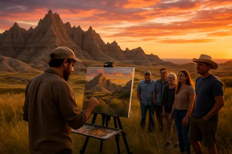
Among North Dakota scenic routes, the Enchanted Highway has a practical advantage: it is short, paved, and easy to understand. At 32 miles between Gladstone and Regent, it can fit into a broader western North Dakota trip without requiring backroad confidence. Its large metal sculptures also give travelers defined stopping points, which can be helpful when foliage is past peak and the trip needs more than leaf color to carry the day.
That said, travelers should not treat roadside art as a substitute for planning. Fuel, daylight, weather, and small-town service hours still matter. Late October can reward slower travel, but it leaves less room for missed assumptions. Anyone combining the Enchanted Highway with Theodore Roosevelt National Park should check distances and avoid overloading a single day.
Byways That Reward Slower Planning
The research also identifies the Killdeer Mountain Four Bears Scenic Byway on ND 22 as roughly 100 miles, crossing western Badlands country near Lake Sakakawea. The Sakakawea Scenic Byway is described as following the Lewis and Clark route through central North Dakota’s river and prairie settings. These drives are less about a single attraction and more about pacing, weather, and how much time travelers want to spend between stops.
For travelers comparing travel coverage across related destinations, explore further insights on California Views offers a West Coast counterpart within the same network. The useful lesson across regions is that scenic-drive planning should start with season, surface, and access, not only with attractive photos.
- Check dated foliage reports before booking lodging around a color-specific trip.
- Confirm whether your intended route is paved, gravel, or partly dirt.
- Build shorter late-October driving days because daylight and weather margins are reduced.
- Verify park alerts, attraction access, and seasonal services close to the travel date.
North Dakota Scenic Routes In Late October
North Dakota scenic routes still have travel value after the most reliable peak-color window, but the purpose of the trip should be clear. A late-October 2026 plan should lean toward paved routes, open views, Theodore Roosevelt National Park access checks, the Enchanted Highway, and flexible stops rather than assuming fresh peak foliage across the state.
For a foliage-first trip, the research points to a stronger window from late September into mid-October, with Pembina Gorge and the Turtle Mountains requiring special attention to timing. For a broader vacation drive, western routes, prairie art stops, river byways, and reopened park roads can still support a satisfying trip if travelers plan around weather and access. The most reliable approach is to treat North Dakota scenic routes as seasonal travel assets with different strengths at different points in fall, rather than as one interchangeable road trip.